Surveying
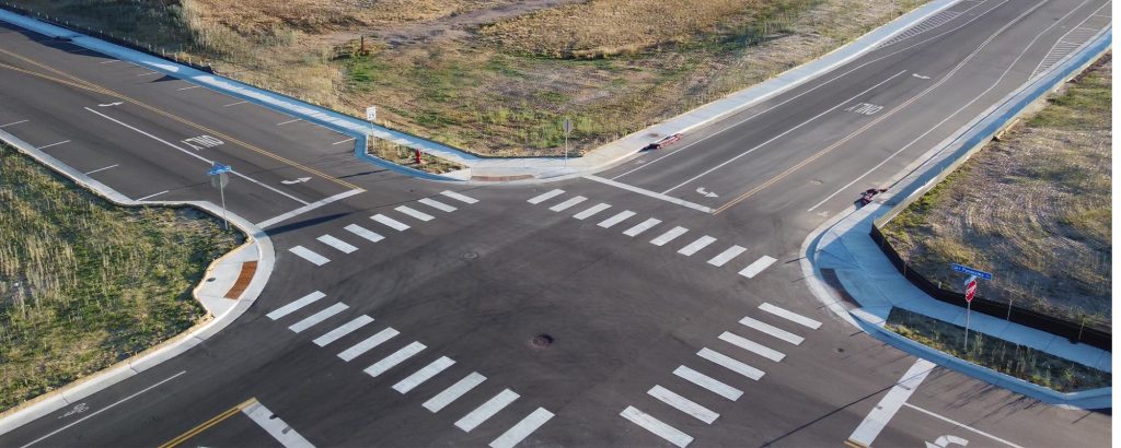
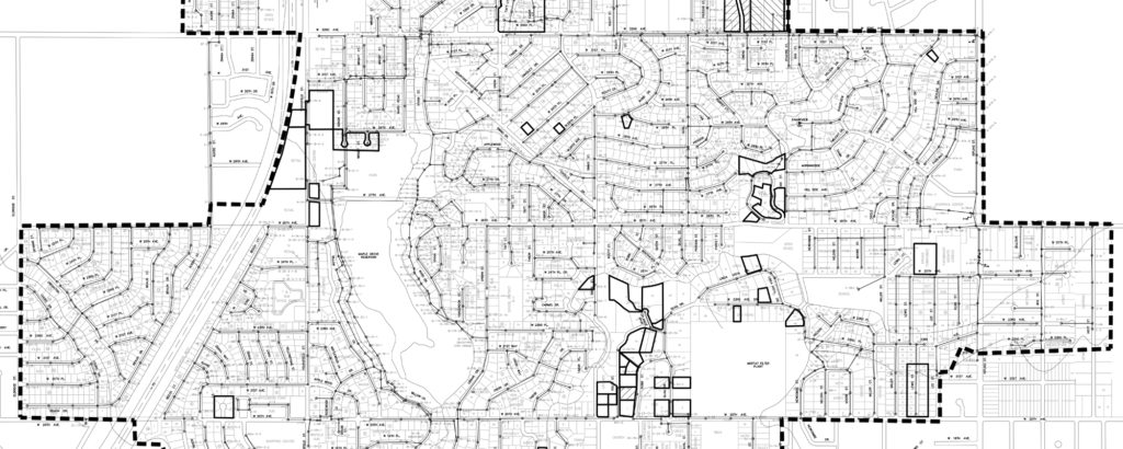
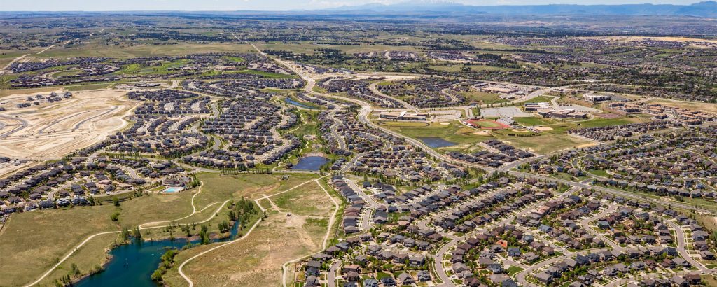
Martin/Martin fully coordinates surveying with general civil engineering services. Our top priorities are accuracy and reliability. We use the latest technology available including robotic total stations, GPS systems, and aerial drones. We have completed a wide range of projects, from individual lots to entire national parks. Specific capabilities include establishing control monuments, ownership research, right-of-way research, ALTA, topographic, route and drainage surveying, utility locations, legal descriptions, final platting/subdivision documentation, easements, GIS mapping, campus mapping, and construction layout.


